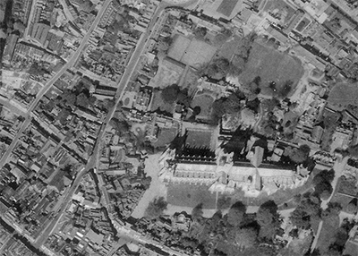
Welcome to Mapping Kent

Mapping Kent is an endeavour being headed by Kent residents Tim and Emma Carter.
With the aim of preserving some of Kent's most unique historical records, the team is currently involved in several projects with local historian and archaeologist Mark Harrison (Timescapes).
This site is always being updated,so if you can't find the information you are after, then please contact one of the team using the contact link on the left.


